Geolocate

Snow Pass topographic map

Click on the map to display elevation.

About this map

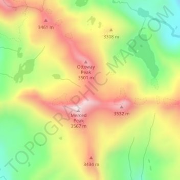
Name: Snow Pass topographic map, elevation, terrain.

Location: Snow Pass, Madera County, California, United States (37.63781 -119.39240 37.63791 -119.39230)

Average elevation: 3,242 m

Minimum elevation: 2,928 m

Maximum elevation: 3,561 m

Gear up for your next adventure:

🧢Outdoor Cap - Protective cap for sun and rain during hikes
💧Collapsible Water Bottle - Space-saving water bottle for outdoor activities
Camping Groundsheet - Protect your tent from moisture and dirt
📷Outdoor Action Camera - Capture high-elevation views and rugged adventures
🛌Insulated Sleeping Pad - Critical thermal barrier between you and the cold ground

As an Amazon Associate, this site earns from qualifying purchases at no extra cost to you.