
Linden topographic map
Click on the map to display elevation.
About this map
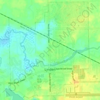
Name: Linden topographic map, elevation, terrain.
Location: Linden, Genesee County, Michigan, United States (42.80671 -83.79762 42.83333 -83.76007)
Average elevation: 271 m
Minimum elevation: 258 m
Maximum elevation: 284 m
Other topographic maps
Click on a map to view its topography, its elevation and its terrain.
Genessee County Recreational Area
United States > Michigan > Genesee County > Genesee Charter Township
Average elevation: 231 m