Geolocate

Barry topographic map

Click on the map to display elevation.

About this map

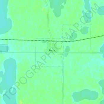
Name: Barry topographic map, elevation, terrain.

Location: Barry, Big Stone County, Minnesota, 56210, United States (45.55462 -96.56559 45.56193 -96.55500)

Average elevation: 338 m

Minimum elevation: 332 m

Maximum elevation: 342 m

Gear up for your next adventure:

🧥Ultralight Puffy Jacket - Maximum warmth that packs down to the size of an orange
💡LED Camping Lantern - Illuminate your campsite with long-lasting lanterns
🌡️Emergency Mylar Blankets - Compact thermal protection for unexpected nights outdoors
🧦Thermal Socks - Warm socks for winter hiking or camping
🧢Outdoor Visor - Breathable visor for sunny hikes

As an Amazon Associate, this site earns from qualifying purchases at no extra cost to you.