
Phnom Aural topographic map
Interactive map
Click on the map to display elevation.
About this map
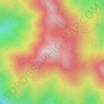
Name: Phnom Aural topographic map, elevation, terrain.
Location: Phnom Aural, ស្រុកឱរ៉ាល់, Kompong Speu, Cambodge (12.03243 104.17084 12.03253 104.17094)
Average elevation: 1,564 m
Minimum elevation: 1,206 m
Maximum elevation: 1,790 m
Other topographic maps
Click on a map to view its topography, its elevation and its terrain.