
Chachani topographic map
Interactive map
Click on the map to display elevation.
About this map
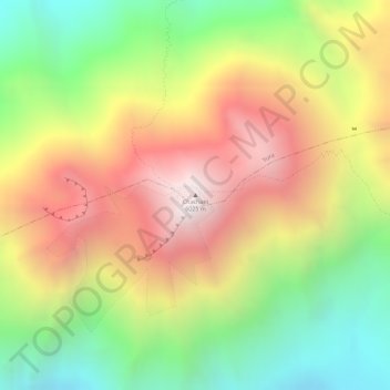
Name: Chachani topographic map, elevation, terrain.
Location: Chachani, Yura, Arequipa, Peru (-16.19401 -71.53169 -16.19391 -71.53159)
Average elevation: 5,562 m
Minimum elevation: 5,032 m
Maximum elevation: 6,071 m