
Tharka topographic map
Interactive map
Click on the map to display elevation.
About this map
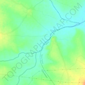
Name: Tharka topographic map, elevation, terrain.
Location: Tharka, Chaurai Tahsil, Chhindwara, Madhya Pradesh, India (22.08564 79.35150 22.10316 79.39338)
Average elevation: 604 m
Minimum elevation: 590 m
Maximum elevation: 626 m
Other topographic maps
Click on a map to view its topography, its elevation and its terrain.
Tarana
India > Madhya Pradesh > Sanwer Tahsil
Tarana, Sanwer Tahsil, Distrito de Indore, Madhya Pradesh, India
Average elevation: 515 m