Geolocate

Stone Head topographic map

Click on the map to display elevation.

About this map

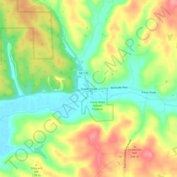
Name: Stone Head topographic map, elevation, terrain.

Location: Stone Head, Brown County, Indiana, United States (39.11005 -86.17888 39.15005 -86.13888)

Average elevation: 214 m

Minimum elevation: 171 m

Maximum elevation: 263 m

Gear up for your next adventure:

🪑Ultralight Camping Stool - Compact seating for rest stops during long hikes
🥾Light Hiking Boots - Lightweight and comfortable boots for day hikes
🧢Hiking Sun Hat - Wide-brimmed protection for exposed mountain ridges
🧼Travel Hand Sanitizer - Keep hands clean when water is scarce
🧊Portable Cooler - Keep food and drinks cold during outdoor adventures

As an Amazon Associate, this site earns from qualifying purchases at no extra cost to you.