Geolocate

Toñanes topographic map

Click on the map to display elevation.

About this map

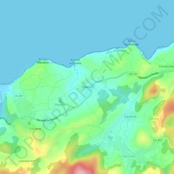
Name: Toñanes topographic map, elevation, terrain.

Location: Toñanes, Alfoz de Lloredo, Cantabria, 39329, España (43.37445 -4.21472 43.41445 -4.17472)

Average elevation: 46 m

Minimum elevation: -1 m

Maximum elevation: 211 m

Gear up for your next adventure:

👖Convertible Hiking Pants - Zip-off legs to adapt to changing weather conditions
🥾Waterproof Hiking Boots - Boots keeping your feet dry in wet conditions
🛶Kayak Accessories - Essential gear for safe and fun kayaking adventures
🧼Travel Hand Sanitizer - Keep hands clean when water is scarce
🥾Mountain Trail Shoes - High-traction shoes for mountain trails

As an Amazon Associate, this site earns from qualifying purchases at no extra cost to you.