
八里镇 topographic map
Interactive map
Click on the map to display elevation.
About this map
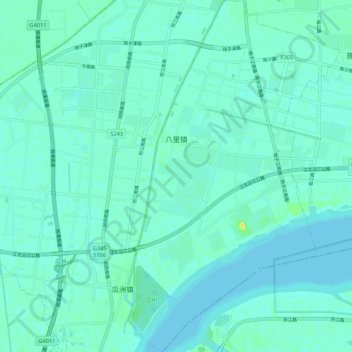
Name: 八里镇 topographic map, elevation, terrain.
Location: 八里镇, 邗江区, 扬州市, 江苏省, 225100, 中国 (32.23679 119.38532 32.32679 119.44942)
Average elevation: 5 m
Minimum elevation: 0 m
Maximum elevation: 27 m
Other topographic maps
Click on a map to view its topography, its elevation and its terrain.