
Thank you for supporting this site ❤️
Make a donation
Make a donation
Gear up for your next adventure:
As an Amazon Associate, this site earns from qualifying purchases at no extra cost to you.
Wuloni topographic map
Click on the map to display elevation.
Thank you for supporting this site ❤️
Make a donation
Make a donation
Gear up for your next adventure:
As an Amazon Associate, this site earns from qualifying purchases at no extra cost to you.
About this map
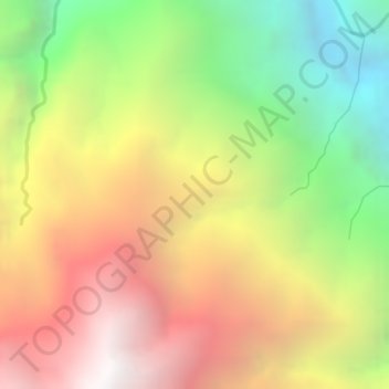
Name: Wuloni topographic map, elevation, terrain.
Location: Wuloni, Puncak, Central Papua, Western New Guinea, Indonesia (-3.72840 137.48279 -3.70840 137.50279)
Average elevation: 1,858 m
Minimum elevation: 778 m
Maximum elevation: 2,811 m
Thank you for supporting this site ❤️
Make a donation
Make a donation
Gear up for your next adventure:
As an Amazon Associate, this site earns from qualifying purchases at no extra cost to you.