
Thank you for supporting this site ❤️
Make a donation
Make a donation
Gear up for your next adventure:
As an Amazon Associate, this site earns from qualifying purchases at no extra cost to you.
Saint-Louis topographic map
Click on the map to display elevation.
Thank you for supporting this site ❤️
Make a donation
Make a donation
Gear up for your next adventure:
As an Amazon Associate, this site earns from qualifying purchases at no extra cost to you.
About this map
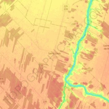
Name: Saint-Louis topographic map, elevation, terrain.
Location: Saint-Louis, Les Maskoutains, Montérégie, Quebec, Canada (45.79839 -73.05931 45.90724 -72.92059)
Average elevation: 29 m
Minimum elevation: -4 m
Maximum elevation: 39 m
Les Maskoutains trails, hiking, mountain biking, running and outdoor activities
Thank you for supporting this site ❤️
Make a donation
Make a donation
Gear up for your next adventure:
As an Amazon Associate, this site earns from qualifying purchases at no extra cost to you.