Geolocate

Tierra Santa topographic map

Click on the map to display elevation.

About this map

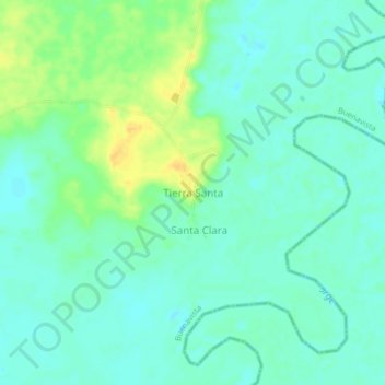
Name: Tierra Santa topographic map, elevation, terrain.

Location: Tierra Santa, Buenavista, San Jorge, Córdoba, Colombia (8.22338 -75.33245 8.26338 -75.29245)

Average elevation: 31 m

Minimum elevation: 22 m

Maximum elevation: 48 m

Gear up for your next adventure:

🧥Thermal Fleece Jacket - Versatile insulation for changing mountain temperatures
🛶Kayak Dry Bag - Waterproof storage for kayaking adventures
🧦Hiking Socks - Moisture-wicking and comfortable socks for long hikes
🔪Outdoor Multitool - Versatile tool for repairs and food prep in the wild
🛶Waterproof Dry Bags - Keep electronics and clothes dry during river crossings

As an Amazon Associate, this site earns from qualifying purchases at no extra cost to you.