Geolocate

Los Robles topographic map

Click on the map to display elevation.

About this map

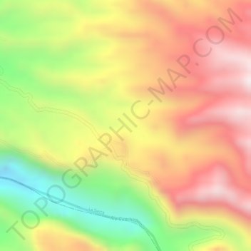
Name: Los Robles topographic map, elevation, terrain.

Location: Los Robles, La Sierra, Macizo, Cauca, Colombia (2.14453 -76.72242 2.16453 -76.70242)

Average elevation: 1,962 m

Minimum elevation: 1,603 m

Maximum elevation: 2,228 m

Gear up for your next adventure:

🥾Trekking Boots - Durable boots for long-distance trekking
🥾Waterproof Hiking Boots - Essential footwear for rugged terrain and wet Canadian trails
🧰Multitool Knife - Compact and versatile tool for outdoor use
🧢Beanie Hat - Keep your head warm in cold weather
🥾Trail Hiking Shoes - Durable shoes designed for rugged trails

As an Amazon Associate, this site earns from qualifying purchases at no extra cost to you.