Geolocate

Konawe topographic map

Click on the map to display elevation.

About this map

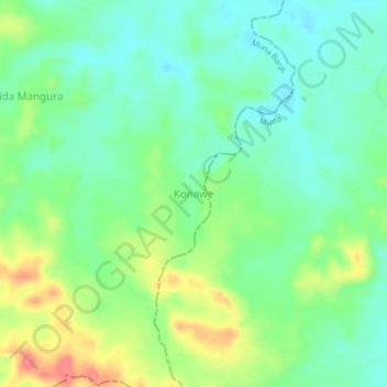
Name: Konawe topographic map, elevation, terrain.

Location: Konawe, Muna Barat, Southeast Sulawesi, Indonesia (-4.74538 122.61377 -4.70538 122.65377)

Average elevation: 56 m

Minimum elevation: 29 m

Maximum elevation: 106 m

Gear up for your next adventure:

🥽Outdoor Goggles - Protective eyewear for outdoor activities
🥤Collapsible Travel Cup - Saves space and weight in your mess kit
🔦LED Flashlight - Powerful and long-lasting flashlight for camping and emergencies
💧Hydration Pack - Hands-free hydration system for long hikes
🛶Kayak Accessories - Essential gear for safe and fun kayaking adventures

As an Amazon Associate, this site earns from qualifying purchases at no extra cost to you.