
Tilbury topographic map
Interactive map
Click on the map to display elevation.
About this map
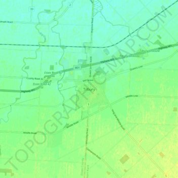
Name: Tilbury topographic map, elevation, terrain.
Location: Tilbury, Chatham-Kent, Ontario, N0P 2L0, Canada (42.21932 -82.47227 42.29932 -82.39227)
Average elevation: 179 m
Minimum elevation: 172 m
Maximum elevation: 187 m
Chatham-Kent trails, hiking, mountain biking, running and outdoor activities
Other topographic maps
Click on a map to view its topography, its elevation and its terrain.