
Camp Saut-Pararé topographic map
Interactive map
Click on the map to display elevation.
About this map
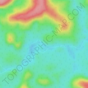
Name: Camp Saut-Pararé topographic map, elevation, terrain.
Location: Camp Saut-Pararé, Régina, Saint-Georges, Guyane, France (4.02796 -52.68276 4.04796 -52.66276)
Average elevation: 70 m
Minimum elevation: 21 m
Maximum elevation: 165 m