Geolocate

Betoli topographic map

Click on the map to display elevation.

About this map
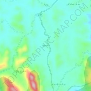
Name: Betoli topographic map, elevation, terrain.

Location: Betoli, Virajpet taluk, Kodagu District, Karnataka, India (12.14474 75.77222 12.18474 75.81222)

Average elevation: 912 m

Minimum elevation: 852 m

Maximum elevation: 1,116 m

Gear up for your next adventure:

🥾Lightweight Hiking Shoes - Comfortable shoes for day hikes
🌬️Windproof Camp Stove - Efficient cooking even on exposed mountain peaks
🔨Vehicle Emergency Tool - Safety tool for remote road trips to trailheads
🧥Packable Rain Jacket - Breathable waterproof layer for unpredictable weather
🧴Insect Repellent - Protect yourself from bugs during outdoor adventures

As an Amazon Associate, this site earns from qualifying purchases at no extra cost to you.