Geolocate

Bellthorpe topographic map

Click on the map to display elevation.

About this map

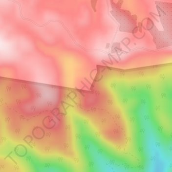
Name: Bellthorpe topographic map, elevation, terrain.

Location: Bellthorpe, Caboolture, Queensland, 4510, Australia (-26.86750 152.71333 -26.84750 152.73333)

Average elevation: 490 m

Minimum elevation: 217 m

Maximum elevation: 624 m

Other topographic maps

Click on a map to view its topography, its elevation and its terrain.

Caboolture River

Australia > Queensland > Caboolture

Average elevation: 66 m

North Pine River

Australia > Queensland > Caboolture

Average elevation: 55 m

Gear up for your next adventure:

🛏️Sleeping Bag - Warm and compact sleeping bags for outdoor camping
🦯Trekking Poles - Reduced impact on joints for steep topographic climbs
🧥Thermal Layer - Insulating layer for cold outdoor conditions
Family Camping Tent - Spacious tent suitable for family camping trips
🥾Hiking Shoes - Durable and comfortable shoes for trail hiking

As an Amazon Associate, this site earns from qualifying purchases at no extra cost to you.