Geolocate

Polynesia topographic map

Click on the map to display elevation.

About this map
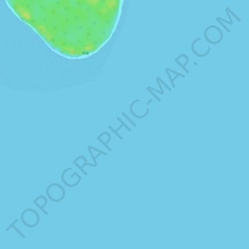
Name: Polynesia topographic map, elevation, terrain.

Location: Polynesia, Leeward Islands, French Polynesia, France (-16.31005 -151.81005 -16.30995 -151.80995)

Average elevation: 1 m

Minimum elevation: 0 m

Maximum elevation: 16 m

Gear up for your next adventure:

🛏️Camping Sleeping Mat - Comfortable mats for sleeping outdoors
🥾Waterproof Trail Shoes - Shoes designed to handle wet terrain
🎒Hiking Daypack - Lightweight and durable backpacks for day trips and excursions
🧦Hiking Socks - Moisture-wicking and comfortable socks for long hikes
🥾Light Trekking Boots - Supportive boots for multi-day treks

As an Amazon Associate, this site earns from qualifying purchases at no extra cost to you.