Geolocate

Timpah topographic map

Click on the map to display elevation.

About this map

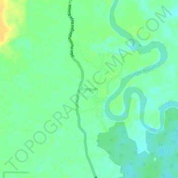
Name: Timpah topographic map, elevation, terrain.

Location: Timpah, Kapuas, Central Kalimantan, Kalimantan, Indonesia (-1.74506 114.45703 -1.70506 114.49703)

Average elevation: 14 m

Minimum elevation: 4 m

Maximum elevation: 30 m

Other topographic maps

Click on a map to view its topography, its elevation and its terrain.

Pulau Petak

Indonesia > Central Kalimantan > Kapuas

Average elevation: 4 m

Gear up for your next adventure:

🏕️Camping Hammock - Integrated protection for sleeping between trees
💧Collapsible Water Bottle - Space-saving water bottle for outdoor activities
Camping Groundsheet - Protect your tent from moisture and dirt
🥾Trekking Boots - Durable boots for long-distance trekking
🧰Multitool Knife - Compact and versatile tool for outdoor use

As an Amazon Associate, this site earns from qualifying purchases at no extra cost to you.