Geolocate

Sunbeam topographic map

Click on the map to display elevation.

About this map

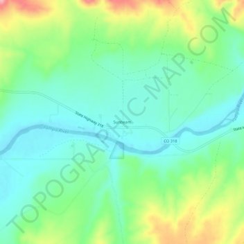
Name: Sunbeam topographic map, elevation, terrain.

Location: Sunbeam, Moffat County, Colorado, 81640, United States (40.53080 -108.21592 40.57080 -108.17592)

Average elevation: 1,827 m

Minimum elevation: 1,782 m

Maximum elevation: 1,927 m

Gear up for your next adventure:

🥫Freeze-Dried Meals - Lightweight, high-calorie nutrition for multi-day treks
🪑Ultralight Camping Stool - Compact seating for rest stops during long hikes
🔭Outdoor Binoculars - Lightweight binoculars for birdwatching and hiking
🧣Evaporative Cooling Towel - Beat the heat during intense summer climbs
🔭Compact Binoculars - Lightweight optics for scouting trails and wildlife

As an Amazon Associate, this site earns from qualifying purchases at no extra cost to you.