Geolocate

Chami 2 topographic map

Click on the map to display elevation.

About this map

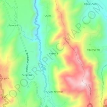
Name: Chami 2 topographic map, elevation, terrain.

Location: Chami 2, Zumbahua, Pujilí, Cotopaxi, 050405, Ecuador (-0.95710 -78.91375 -0.91710 -78.87375)

Average elevation: 3,578 m

Minimum elevation: 3,354 m

Maximum elevation: 3,910 m

Gear up for your next adventure:

Backpacking Tent - Lightweight tent for long-distance hiking trips
🧴Outdoor Sunscreen - High SPF protection for high-altitude UV exposure
🛁Quick-Dry Microfiber Towel - Space-saving towel that dries rapidly on the move
🪑Insulated Seat Pad - Protect your seat from cold rocks and wet logs
🧥Fleece Jacket - Warm and lightweight jacket for layering

As an Amazon Associate, this site earns from qualifying purchases at no extra cost to you.