Geolocate

Modinagar topographic map

Click on the map to display elevation.

About this map

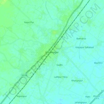
Name: Modinagar topographic map, elevation, terrain.

Location: Modinagar, Ghaziabad, Uttar Pradesh, 201204, India (28.79207 77.53709 28.87207 77.61709)

Average elevation: 220 m

Minimum elevation: 217 m

Maximum elevation: 226 m

Gear up for your next adventure:

🥾Waterproof Hiking Shoes - Durable shoes for wet and rugged trails
💡Solar Camping Lamp - Eco-friendly lighting for campsites
Backpacking Tent - Lightweight tent for long-distance hiking trips
🕶️Polarized Sunglasses - Reduces glare from snow and water at high elevations
🔭Compact Monocular - One-handed bird watching and trail spotting

As an Amazon Associate, this site earns from qualifying purchases at no extra cost to you.