Geolocate

Montell topographic map

Click on the map to display elevation.

About this map

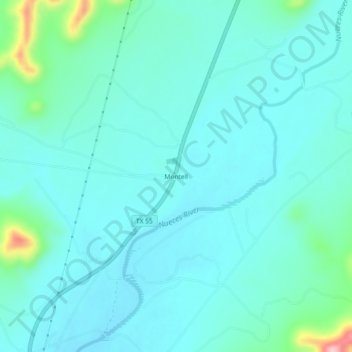
Name: Montell topographic map, elevation, terrain.

Location: Montell, Uvalde County, Texas, United States (29.51801 -100.03146 29.55801 -99.99146)

Average elevation: 405 m

Minimum elevation: 377 m

Maximum elevation: 560 m

Other topographic maps

Click on a map to view its topography, its elevation and its terrain.

Uvalde

United States > Texas > Uvalde County

Average elevation: 280 m

Onion Creek

United States > Texas > Uvalde County

Average elevation: 408 m

Sabinal

United States > Texas > Uvalde County

Average elevation: 289 m

Gear up for your next adventure:

🧥Softshell Hiking Jacket - The perfect balance of wind protection and breathability
🚲Bike Repair Kit - Essential tools for on-trail mechanical issues
🚲Heavy Duty Bike Lock - Secure your bike at the trailhead or during stops
🧭Orienteering Kit - Tools for map reading and navigation in the wild
🥾Approach Shoes - Shoes designed for climbing approaches and rugged trails

As an Amazon Associate, this site earns from qualifying purchases at no extra cost to you.