Geolocate

Umadi topographic map

Click on the map to display elevation.

About this map

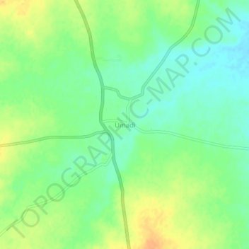
Name: Umadi topographic map, elevation, terrain.

Location: Umadi, Jat, Sangli, Maharashtra, India (17.23560 75.57700 17.27560 75.61700)

Average elevation: 480 m

Minimum elevation: 465 m

Maximum elevation: 497 m

Gear up for your next adventure:

🥾Hiking Shoes - Durable and comfortable shoes for trail hiking
🥾Trail Hiking Shoes - Durable shoes designed for rugged trails
🧦Crew Hiking Socks - Comfortable socks for long-distance hikes
💧Reusable Water Bottle - Durable water bottles for hydration on trails
🛶Canoe Life Vest - Safety vest for water sports

As an Amazon Associate, this site earns from qualifying purchases at no extra cost to you.