
Make a donation
Gear up for your next adventure:
As an Amazon Associate, this site earns from qualifying purchases at no extra cost to you.
Hawkeye Point topographic map
Click on the map to display elevation.
Make a donation
Gear up for your next adventure:
As an Amazon Associate, this site earns from qualifying purchases at no extra cost to you.
About this map
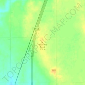
Name: Hawkeye Point topographic map, elevation, terrain.
Location: Hawkeye Point, Osceola County, Iowa, United States (43.45992 -95.70895 43.46002 -95.70885)
Average elevation: 498 m
Minimum elevation: 483 m
Maximum elevation: 510 m
Make a donation
Gear up for your next adventure:
As an Amazon Associate, this site earns from qualifying purchases at no extra cost to you.
Other topographic maps
Click on a map to view its topography, its elevation and its terrain.
Ocheyedan
United States > Iowa > Osceola County
There is a common misconception that the highest point in Iowa is the Ocheyedan Mound, located near Ocheyedan. The Ocheyedan Mound rises to 1,655 feet above sea level, just fifteen feet short of the actual highest point in Iowa, Hawkeye Point, which has an elevation of 1,670 feet.
Average elevation: 473 m
Make a donation
Gear up for your next adventure:
As an Amazon Associate, this site earns from qualifying purchases at no extra cost to you.