Geolocate

Zapato topographic map

Click on the map to display elevation.

About this map
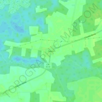
Name: Zapato topographic map, elevation, terrain.

Location: Zapato, Martí, Matanzas, Cuba (22.94830 -80.83818 22.98830 -80.79818)

Average elevation: 13 m

Minimum elevation: 7 m

Maximum elevation: 18 m

Gear up for your next adventure:

🗺️Topographic Maps - Detailed maps to explore trails, mountains, and wilderness areas
🧴Insect Repellent - Protect yourself from bugs during outdoor adventures
🏃Hydration Running Vest - Carry water and maps close to your body for speed
🥾Light Hiking Boots - Lightweight and comfortable boots for day hikes
💡LED Headlamp - Hands-free illumination for night hiking and camping

As an Amazon Associate, this site earns from qualifying purchases at no extra cost to you.