Geolocate

Rajgorh topographic map

Click on the map to display elevation.

About this map

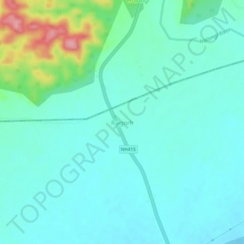
Name: Rajgorh topographic map, elevation, terrain.

Location: Rajgorh, Gohpur, Biswanath, Assam, 791123, India (26.93111 93.57433 26.97111 93.61433)

Average elevation: 114 m

Minimum elevation: 88 m

Maximum elevation: 216 m

Gear up for your next adventure:

🥾Light Hiking Boots - Lightweight and comfortable boots for day hikes
💧Hydration Pack - Hands-free hydration system for long hikes
🎒Hiking Daypack - Lightweight and durable backpacks for day trips and excursions
🔭Compact Binoculars - Lightweight optics for scouting trails and wildlife
🧢Hiking Sun Hat - Wide-brimmed protection for exposed mountain ridges

As an Amazon Associate, this site earns from qualifying purchases at no extra cost to you.