Geolocate

Sitka topographic map

Click on the map to display elevation.

About this map

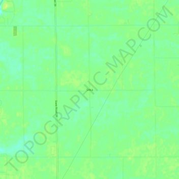
Name: Sitka topographic map, elevation, terrain.

Location: Sitka, White County, Indiana, United States (40.80560 -86.75529 40.84560 -86.71529)

Average elevation: 207 m

Minimum elevation: 198 m

Maximum elevation: 214 m

Other topographic maps

Click on a map to view its topography, its elevation and its terrain.

Monticello

United States > Indiana > White County

Average elevation: 207 m

Wolcott

United States > Indiana > White County

Average elevation: 219 m

Gear up for your next adventure:

🕶️Polarized Sunglasses - Reduces glare from snow and water at high elevations
🥾Waterproof Hiking Boots - Essential footwear for rugged terrain and wet Canadian trails
Camping Tent - Weather-resistant tents suitable for 2 to 6 people
🥾Trail Hiking Shoes - Durable shoes designed for rugged trails
🧢Sun Protection Cap - Breathable cap to protect from sun exposure

As an Amazon Associate, this site earns from qualifying purchases at no extra cost to you.