Geolocate

Heuvel topographic map

Click on the map to display elevation.

About this map

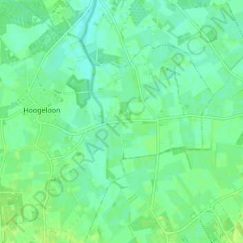
Name: Heuvel topographic map, elevation, terrain.

Location: Heuvel, Bladel, Noord-Brabant, Nederland, 5528, Nederland (51.37514 5.26937 51.41514 5.30937)

Average elevation: 27 m

Minimum elevation: 21 m

Maximum elevation: 33 m

Gear up for your next adventure:

🔦LED Headtorch - Bright and durable light for night activities
🏃Hydration Running Vest - Carry water and maps close to your body for speed
🥾Mountaineering Boots - Supportive boots for climbing and high-altitude hiking
🧥Waterproof Pants - Keep dry during rainy hiking conditions
🥽Outdoor Goggles - Protective eyewear for outdoor activities

As an Amazon Associate, this site earns from qualifying purchases at no extra cost to you.