Geolocate

Centeno topographic map

Click on the map to display elevation.

About this map

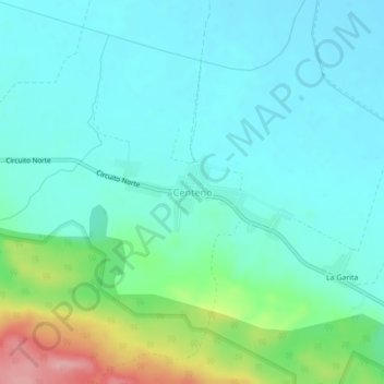
Name: Centeno topographic map, elevation, terrain.

Location: Centeno, Yaguajay, Sancti Spiritus, 62100, Cuba (22.28544 -79.21017 22.32544 -79.17017)

Average elevation: 36 m

Minimum elevation: 5 m

Maximum elevation: 146 m

Gear up for your next adventure:

🩹Compact First Aid Kit - Pre-packed essentials for common trail injuries
🕶️Polarized Sunglasses - Protect your eyes with durable polarized lenses
🔨Vehicle Emergency Tool - Safety tool for remote road trips to trailheads
Camping Coffee Maker - Brew fresh coffee anywhere on the topographic map
🕯️Camping Lantern - Illuminates your entire campsite with high-efficiency LEDs

As an Amazon Associate, this site earns from qualifying purchases at no extra cost to you.