Geolocate

Thanewal topographic map

Click on the map to display elevation.

About this map

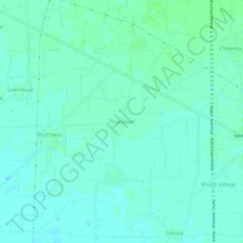
Name: Thanewal topographic map, elevation, terrain.

Location: Thanewal, Batala Tahsil, Gurdaspur, Punjab, 143515, India (31.68865 75.39391 31.72865 75.43391)

Average elevation: 253 m

Minimum elevation: 249 m

Maximum elevation: 257 m

Gear up for your next adventure:

Lightweight Backpacking Tent - Compact tent for efficient hiking trips
🛏️Camping Sleeping Mat - Comfortable mats for sleeping outdoors
🥾Approach Shoes - Shoes designed for climbing approaches and rugged trails
🔋Solar Power Bank - Keep your GPS and devices charged during long outdoor trips
🏃Hydration Running Vest - Carry water and maps close to your body for speed

As an Amazon Associate, this site earns from qualifying purchases at no extra cost to you.