Geolocate

Pasar Baru topographic map

Click on the map to display elevation.

About this map

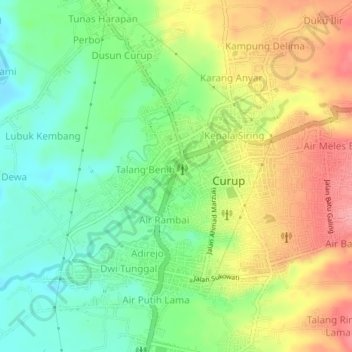
Name: Pasar Baru topographic map, elevation, terrain.

Location: Pasar Baru, Rejang Lebong, Bengkulu, Sumatra, Indonesia (-3.48718 102.50417 -3.44718 102.54417)

Average elevation: 643 m

Minimum elevation: 597 m

Maximum elevation: 703 m

Gear up for your next adventure:

🧊Insulated Water Bottle - Keeps drinks cold in summer and prevents freezing in winter
💧Collapsible Water Bottle - Space-saving water bottle for outdoor activities
🥾Hiking Shorts - Breathable shorts suitable for summer hikes
💡Solar Camping Lamp - Eco-friendly lighting for campsites
🧥Ultralight Puffy Jacket - Maximum warmth that packs down to the size of an orange

As an Amazon Associate, this site earns from qualifying purchases at no extra cost to you.