
Montenebro topographic map
Click on the map to display elevation.
About this map
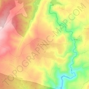
Name: Montenebro topographic map, elevation, terrain.
Location: Montenebro, Pedrezuela, Comunidad de Madrid, 28723, España (40.71796 -3.64955 40.75796 -3.60955)
Average elevation: 857 m
Minimum elevation: 693 m
Maximum elevation: 972 m
Other topographic maps
Click on a map to view its topography, its elevation and its terrain.
Embalse de Pedrezuela
España > Comunidad de Madrid > Pedrezuela > Atalaya Real
Average elevation: 848 m