Geolocate

Selwyn topographic map

Click on the map to display elevation.

About this map

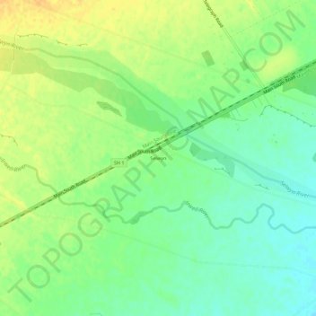
Name: Selwyn topographic map, elevation, terrain.

Location: Selwyn, Selwyn District, Canterbury, 7682, New Zealand (-43.66952 172.20775 -43.62952 172.24775)

Average elevation: 70 m

Minimum elevation: 55 m

Maximum elevation: 85 m

Gear up for your next adventure:

🥾Light Trekking Boots - Supportive boots for multi-day treks
Camping Coffee Maker - Brew fresh coffee anywhere on the topographic map
🧭GPS Tracker - Track your location in remote areas safely
🛶Kayak Dry Bag - Waterproof storage for kayaking adventures
🏕️Camping Hammock - Integrated protection for sleeping between trees

As an Amazon Associate, this site earns from qualifying purchases at no extra cost to you.