
Make a donation
Gear up for your next adventure:
As an Amazon Associate, this site earns from qualifying purchases at no extra cost to you.
Port-Cartier topographic map
Click on the map to display elevation.
Make a donation
Gear up for your next adventure:
As an Amazon Associate, this site earns from qualifying purchases at no extra cost to you.
About this map
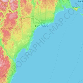
Name: Port-Cartier topographic map, elevation, terrain.
Location: Port-Cartier, Sept-Rivières, Côte-Nord, Quebec, Canada (49.58726 -67.48825 50.21210 -66.72403)
Average elevation: 77 m
Minimum elevation: -4 m
Maximum elevation: 539 m
Sept-Rivières trails, hiking, mountain biking, running and outdoor activities
Make a donation
Gear up for your next adventure:
As an Amazon Associate, this site earns from qualifying purchases at no extra cost to you.
Other topographic maps
Click on a map to view its topography, its elevation and its terrain.
Make a donation
Gear up for your next adventure:
As an Amazon Associate, this site earns from qualifying purchases at no extra cost to you.