Geolocate

Sembrong River topographic map

Click on the map to display elevation.

About this map

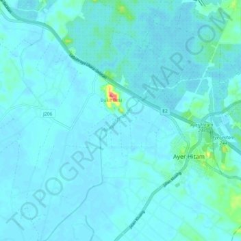
Name: Sembrong River topographic map, elevation, terrain.

Location: Sembrong River, Parit Raja, Batu Pahat, Johor, Malaysia (1.88662 103.12549 1.97597 103.18254)

Average elevation: 8 m

Minimum elevation: 1 m

Maximum elevation: 83 m

Other topographic maps

Click on a map to view its topography, its elevation and its terrain.

Kampung Parit Rasipan

Malaysia > Johor > Parit Raja

Average elevation: 4 m

Gear up for your next adventure:

🛰️Satellite Messenger - Emergency communication for areas with no cell service
🥾Lightweight Hiking Shoes - Comfortable shoes for day hikes
Tent Footprint - Protect tent floor and increase durability
🪑Insulated Seat Pad - Protect your seat from cold rocks and wet logs
🐕Hiking Dog Pack - Let your canine companion carry their own water and food

As an Amazon Associate, this site earns from qualifying purchases at no extra cost to you.