
Deogaon topographic map
Click on the map to display elevation.
About this map
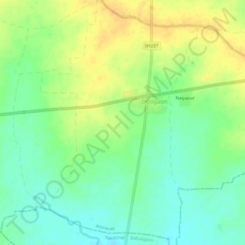
Name: Deogaon topographic map, elevation, terrain.
Location: Deogaon, Dhamangaon Railway, Amravati, Maharashtra, India (20.65713 78.13204 20.69978 78.16135)
Average elevation: 284 m
Minimum elevation: 269 m
Maximum elevation: 299 m