Geolocate

Harbert topographic map

Click on the map to display elevation.

About this map

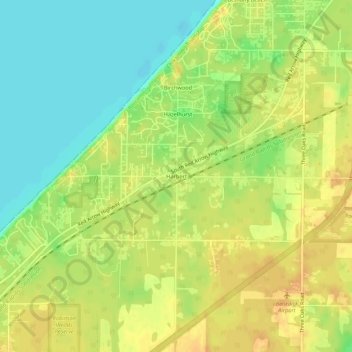
Name: Harbert topographic map, elevation, terrain.

Location: Harbert, Chikaming Township, Berrien County, Michigan, 49115, United States (41.85134 -86.64886 41.89134 -86.60886)

Average elevation: 192 m

Minimum elevation: 173 m

Maximum elevation: 206 m

Other topographic maps

Click on a map to view its topography, its elevation and its terrain.

Benton Harbor

United States > Michigan > Berrien County

Average elevation: 186 m

Stevensville

United States > Michigan > Berrien County

Average elevation: 193 m

Dayton Lake

United States > Michigan > Berrien County > Dayton

Average elevation: 226 m

Fair Plain

United States > Michigan > Berrien County

Average elevation: 190 m

Galien

United States > Michigan > Berrien County > Galien

Average elevation: 209 m

Gear up for your next adventure:

🧥Thermal Fleece Jacket - Versatile insulation for changing mountain temperatures
🧦Thermal Socks - Warm socks for winter hiking or camping
🧥Ultralight Puffy Jacket - Maximum warmth that packs down to the size of an orange
🧢Sun Hat - Wide-brim hat for sun protection
🥾Approach Boots - Comfortable boots for hiking and climbing approaches

As an Amazon Associate, this site earns from qualifying purchases at no extra cost to you.