Geolocate

Union City topographic map

Click on the map to display elevation.

About this map

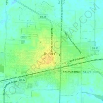
Name: Union City topographic map, elevation, terrain.

Location: Union City, Randolph County, Indiana, United States (40.18922 -84.83822 40.21577 -84.80568)

Average elevation: 333 m

Minimum elevation: 324 m

Maximum elevation: 348 m

Gear up for your next adventure:

👖Convertible Hiking Pants - Zip-off legs to adapt to changing weather conditions
🥾Waterproof Hiking Boots - Essential footwear for rugged terrain and wet Canadian trails
🧢Outdoor Cap - Protective cap for sun and rain during hikes
🧦Thermal Socks - Warm socks for winter hiking or camping
🔋Solar Power Bank - Keep your GPS and devices charged during long outdoor trips

As an Amazon Associate, this site earns from qualifying purchases at no extra cost to you.