Geolocate

Tanlan topographic map

Click on the map to display elevation.

About this map

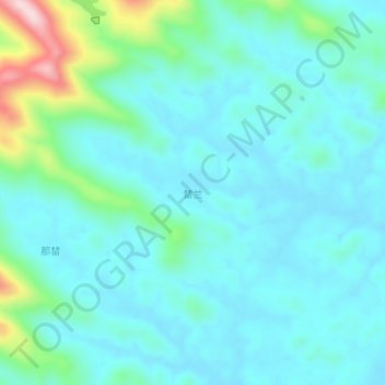
Name: Tanlan topographic map, elevation, terrain.

Location: Tanlan, Qinzhou, Guangxi, China (22.18380 108.70100 22.22380 108.74100)

Average elevation: 82 m

Minimum elevation: 24 m

Maximum elevation: 350 m

Other topographic maps

Click on a map to view its topography, its elevation and its terrain.

Maowei Sea

China > Guangxi > Qinzhou

Average elevation: 9 m

Wenfeng Sub-district

China > Guangxi > Qinzhou

Average elevation: 6 m

Gear up for your next adventure:

❄️Traction Ice Cleats - Slip-on spikes for icy trails and winter hiking
🔦UV Flashlight - Detect minerals or specific insects in the dark
🔭Compact Monocular - One-handed bird watching and trail spotting
🥤Collapsible Travel Cup - Saves space and weight in your mess kit
🕯️Camping Lantern - Illuminates your entire campsite with high-efficiency LEDs

As an Amazon Associate, this site earns from qualifying purchases at no extra cost to you.