Geolocate

Bodimettu topographic map

Click on the map to display elevation.

About this map
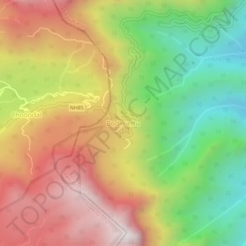
Name: Bodimettu topographic map, elevation, terrain.

Location: Bodimettu, Bodinayakanur, Theni District, Tamil Nadu, India (9.99989 77.24455 10.03989 77.28455)

Average elevation: 1,247 m

Minimum elevation: 571 m

Maximum elevation: 1,941 m

Gear up for your next adventure:

🧦Hiking Socks - Moisture-wicking and comfortable socks for long hikes
🧥Waterproof Pants - Keep dry during rainy hiking conditions
💧Filtered Water Bottle - Safe drinking water on the go
🛶Waterproof Dry Bags - Keep electronics and clothes dry during river crossings
🧼Biodegradable Camp Soap - Environmentally friendly cleaning for gear and body

As an Amazon Associate, this site earns from qualifying purchases at no extra cost to you.