
Challacancha topographic map
Interactive map
Click on the map to display elevation.
About this map
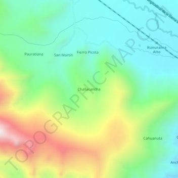
Name: Challacancha topographic map, elevation, terrain.
Location: Challacancha, Santa Rosa, Melgar, Puno, Peru (-14.56256 -70.93667 -14.52256 -70.89667)
Average elevation: 4,319 m
Minimum elevation: 4,020 m
Maximum elevation: 4,918 m