Geolocate

Santa Rosa topographic map

Click on the map to display elevation.

About this map

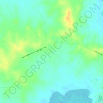
Name: Santa Rosa topographic map, elevation, terrain.

Location: Santa Rosa, Magangué, Mojana, Bolívar, RAP Caribe, Colombia (9.27303 -74.75988 9.29303 -74.73988)

Average elevation: 24 m

Minimum elevation: 12 m

Maximum elevation: 44 m

Gear up for your next adventure:

🛁Quick-Dry Microfiber Towel - Space-saving towel that dries rapidly on the move
🦶Hiking Shoe Insoles - Added support for high arches and long days on feet
🧥Thermal Fleece Jacket - Versatile insulation for changing mountain temperatures
🔭Outdoor Binoculars - Lightweight binoculars for birdwatching and hiking
🔋Lithium AA Batteries - Long-lasting power that performs in extreme cold

As an Amazon Associate, this site earns from qualifying purchases at no extra cost to you.