Geolocate

Bajpur topographic map

Click on the map to display elevation.

About this map

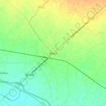
Name: Bajpur topographic map, elevation, terrain.

Location: Bajpur, Udham Singh Nagar, Uttarakhand, 262401, India (29.12128 79.11386 29.20128 79.19386)

Average elevation: 231 m

Minimum elevation: 217 m

Maximum elevation: 247 m

Gear up for your next adventure:

📷Outdoor Action Camera - Capture high-elevation views and rugged adventures
🦶Hiking Shoe Insoles - Added support for high arches and long days on feet
🧥Ultralight Puffy Jacket - Maximum warmth that packs down to the size of an orange
🕶️Polarized Sunglasses - Protect your eyes with durable polarized lenses
🥾Mountain Trail Shoes - High-traction shoes for mountain trails

As an Amazon Associate, this site earns from qualifying purchases at no extra cost to you.