
Muenster topographic map
Click on the map to display elevation.
About this map
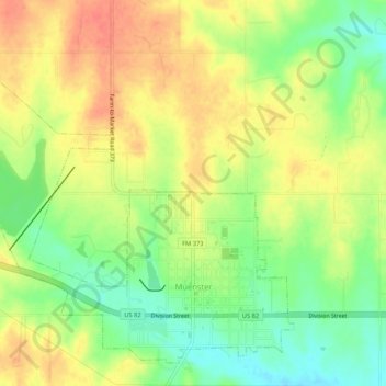
Name: Muenster topographic map, elevation, terrain.
Location: Muenster, Cooke County, Texas, 76252, United States (33.64291 -97.41520 33.68133 -97.36260)
Average elevation: 315 m
Minimum elevation: 286 m
Maximum elevation: 340 m