Geolocate

Finlayson topographic map

Click on the map to display elevation.

About this map

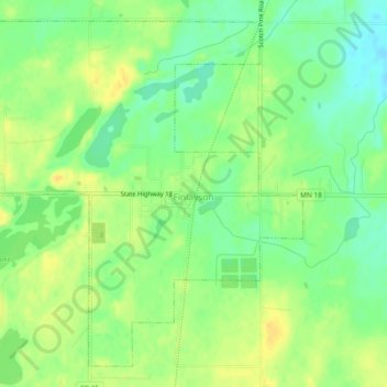
Name: Finlayson topographic map, elevation, terrain.

Location: Finlayson, Pine County, Minnesota, United States (46.18735 -92.94971 46.21639 -92.90273)

Average elevation: 339 m

Minimum elevation: 325 m

Maximum elevation: 350 m

Other topographic maps

Click on a map to view its topography, its elevation and its terrain.

Big Pine Lake

United States > Minnesota > Pine County

Average elevation: 339 m

Gear up for your next adventure:

🛏️Sleeping Bag - Warm and compact sleeping bags for outdoor camping
💧Hydration Pack - Hands-free hydration system for long hikes
🥾Hiking Boots - Sturdy boots providing ankle support and traction on rugged trails
🪜Heavy Duty Carabiners - Multi-use clips for securing gear to your backpack
🦶Anti-Blister Balm - Prevents friction and hotspots during long ascents

As an Amazon Associate, this site earns from qualifying purchases at no extra cost to you.