
Amphoe Rom Chamcha Fishing Pond topographic map
Interactive map
Click on the map to display elevation.
About this map
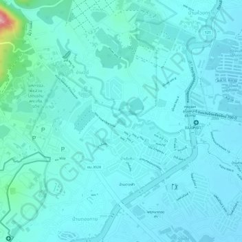
Name: Amphoe Rom Chamcha Fishing Pond topographic map, elevation, terrain.
Average elevation: 331 m
Minimum elevation: 311 m
Maximum elevation: 460 m