Geolocate

Temiang topographic map

Click on the map to display elevation.

About this map

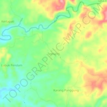
Name: Temiang topographic map, elevation, terrain.

Location: Temiang, Bengkulu Tengah, Bengkulu, Sumatra, Indonesia (-3.66187 102.36027 -3.62187 102.40027)

Average elevation: 79 m

Minimum elevation: 26 m

Maximum elevation: 150 m

Gear up for your next adventure:

🌡️Emergency Mylar Blankets - Compact thermal protection for unexpected nights outdoors
🎒Hiking Daypack - Lightweight and durable backpacks for day trips and excursions
🧥Waterproof Pants - Keep dry during rainy hiking conditions
🧥Ultralight Puffy Jacket - Maximum warmth that packs down to the size of an orange
Lightweight Backpacking Tent - Compact tent for efficient hiking trips

As an Amazon Associate, this site earns from qualifying purchases at no extra cost to you.