Geolocate

Nadun topographic map

Click on the map to display elevation.

About this map

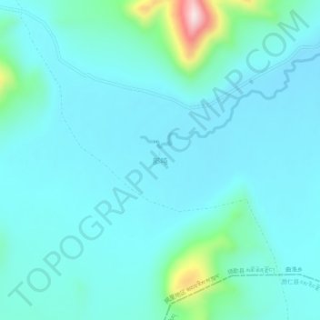
Name: Nadun topographic map, elevation, terrain.

Location: Nadun, Quluo, Coqên County, Ngari Prefecture, Tibet, China (30.68607 85.71324 30.72607 85.75324)

Average elevation: 4,686 m

Minimum elevation: 4,632 m

Maximum elevation: 5,023 m

Gear up for your next adventure:

🍽️Titanium Camping Spork - Ultralight and indestructible eating utensil
🥾Approach Shoes - Shoes designed for climbing approaches and rugged trails
🥾Mountain Hiking Shoes - Shoes with superior grip for mountainous terrain
🧭GPS Tracker - Track your location in remote areas safely
💡Portable Camping Lamp - Rechargeable lamp for campsite lighting

As an Amazon Associate, this site earns from qualifying purchases at no extra cost to you.